
Municipio de Jalapa topographic map
Interactive map
Click on the map to display elevation.
About this map
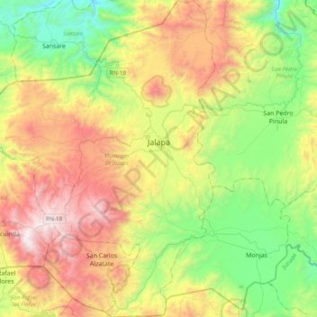
Name: Municipio de Jalapa topographic map, elevation, terrain.
Location: Municipio de Jalapa, Jalapa, Guatemala (14.42988 -90.19345 14.79818 -89.92133)
Average elevation: 1,432 m
Minimum elevation: 624 m
Maximum elevation: 2,684 m
Other topographic maps
Click on a map to view its topography, its elevation and its terrain.