
Bear River topographic map
Interactive map
Click on the map to display elevation.
About this map
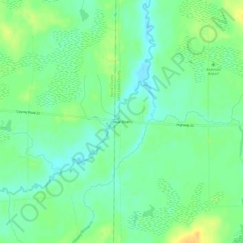
Name: Bear River topographic map, elevation, terrain.
Location: Bear River, Saint Louis County, Minnesota, USA (47.75771 -93.10296 47.79771 -93.06296)
Average elevation: 396 m
Minimum elevation: 384 m
Maximum elevation: 413 m