
Polkton Township topographic map
Interactive map
Click on the map to display elevation.
About this map
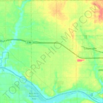
Name: Polkton Township topographic map, elevation, terrain.
Location: Polkton Township, Ottawa County, Michigan, United States (43.00166 -86.02702 43.11886 -85.90674)
Average elevation: 195 m
Minimum elevation: 175 m
Maximum elevation: 228 m
Other topographic maps
Click on a map to view its topography, its elevation and its terrain.