
Asamankese topographic map
Interactive map
Click on the map to display elevation.
About this map
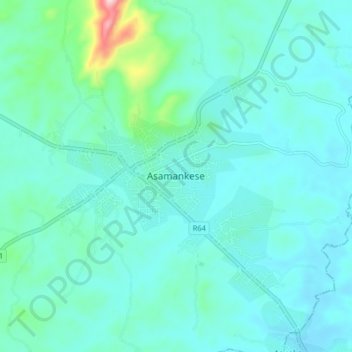
Name: Asamankese topographic map, elevation, terrain.
Location: Asamankese, West Akim Municipal District, Eastern Region, Ghana (5.82101 -0.69793 5.90101 -0.61793)
Average elevation: 142 m
Minimum elevation: 97 m
Maximum elevation: 423 m