
Col du Somport topographic map
Interactive map
Click on the map to display elevation.
About this map
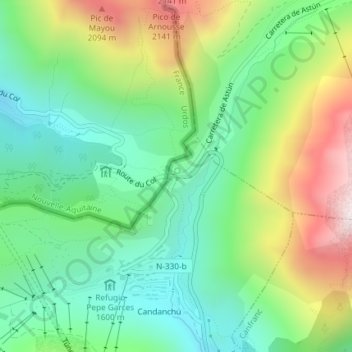
Name: Col du Somport topographic map, elevation, terrain.
Average elevation: 1,727 m
Minimum elevation: 1,449 m
Maximum elevation: 2,243 m
Le col du Somport est un col de montagne situé sur la frontière entre l'Espagne et la France à 1 631 ou 1 632 mètres d'altitude.