Geolocate

Carrapateira topographic map

Click on the map to display elevation.

About this map

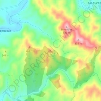
Name: Carrapateira topographic map, elevation, terrain.

Location: Carrapateira, São Marcos da Serra, Silves, Faro, Portugal (37.37715 -8.29895 37.37725 -8.29885)

Average elevation: 208 m

Minimum elevation: 131 m

Maximum elevation: 322 m

Gear up for your next adventure:

🕶️Polarized Sunglasses - Reduces glare from snow and water when reading terrain
🗺️Ordnance Survey Maps - Official UK maps for walking and outdoor activities
🧺Ultralight Dry Bags - Organize and waterproof your gear inside your rucksack
🛑Emergency Bivvy Bags - Heat-reflective survival bags for unexpected nights out
Camping Shelters - Emergency and lightweight shelters for outdoor use

As an Amazon Associate, this site earns from qualifying purchases at no extra cost to you.