
Martelle topographic map
Interactive map
Click on the map to display elevation.
About this map
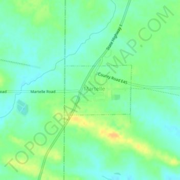
Name: Martelle topographic map, elevation, terrain.
Location: Martelle, Jones County, Iowa, États-Unis d'Amérique (42.01651 -91.36507 42.02403 -91.35149)
Average elevation: 276 m
Minimum elevation: 265 m
Maximum elevation: 292 m