
Busal topographic map
Interactive map
Click on the map to display elevation.
About this map
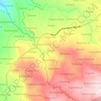
Name: Busal topographic map, elevation, terrain.
Location: Busal, Kapchorwa, Eastern Region, Uganda (1.35339 34.38621 1.39339 34.42621)
Average elevation: 1,868 m
Minimum elevation: 1,524 m
Maximum elevation: 2,124 m