兵团红山农场 topographic map
Interactive map
Click on the map to display elevation.
About this map
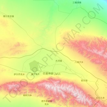
Name: 兵团红山农场 topographic map, elevation, terrain.
Average elevation: 1,936 m
Minimum elevation: 815 m
Maximum elevation: 4,239 m

Click on the map to display elevation.
Name: 兵团红山农场 topographic map, elevation, terrain.
Average elevation: 1,936 m
Minimum elevation: 815 m
Maximum elevation: 4,239 m