
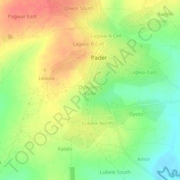
Ogwaleng Vallet topographic map
Interactive map
Click on the map to display elevation.
About this map
Name: Ogwaleng Vallet topographic map, elevation, terrain.
Location: Ogwaleng Vallet, Pader, Northern Region, Uganda (2.85197 33.06388 2.89197 33.10388)
Average elevation: 1,034 m
Minimum elevation: 1,004 m
Maximum elevation: 1,061 m