
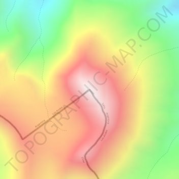
Cerro Negro o Volcán topographic map
Interactive map
Click on the map to display elevation.
About this map
Name: Cerro Negro o Volcán topographic map, elevation, terrain.
Average elevation: 5,223 m
Minimum elevation: 4,755 m
Maximum elevation: 5,590 m