Geolocate

Derby topographic map

Click on the map to display elevation.

About this map

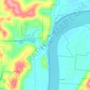
Name: Derby topographic map, elevation, terrain.

Location: Derby, Perry County, Indiana, 47525, United States (38.01034 -86.54720 38.05034 -86.50720)

Average elevation: 150 m

Minimum elevation: 115 m

Maximum elevation: 236 m

Other topographic maps

Click on a map to view its topography, its elevation and its terrain.

Tell City

United States > Indiana > Perry County

Average elevation: 130 m

Gear up for your next adventure:

🎿Telescopic Trekking Poles - Reduces knee strain on steep topographic descents
🛰️Handheld GPS Devices - Reliable GPS units for hiking and outdoor navigation
🧢Hiking Hats - Sun and weather protection for outdoor walks
🦯Walking Poles - Supportive poles for long-distance walking
🔋Power Banks - Portable chargers for long outdoor trips

As an Amazon Associate, this site earns from qualifying purchases at no extra cost to you.