
Lehnheim topographic map
Interactive map
Click on the map to display elevation.
About this map
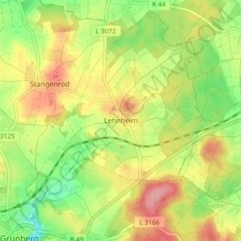
Name: Lehnheim topographic map, elevation, terrain.
Location: Lehnheim, Grünberg, Landkreis Gießen, Hessen, 35305, Deutschland (50.59091 8.96691 50.63091 9.00691)
Average elevation: 291 m
Minimum elevation: 239 m
Maximum elevation: 345 m