
Hällnäs topographic map
Interactive map
Click on the map to display elevation.
About this map
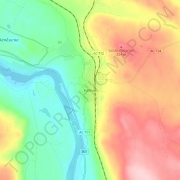
Name: Hällnäs topographic map, elevation, terrain.
Location: Hällnäs, Vindelns kommun, Västerbotten County, 92273, Sweden (64.28765 19.60321 64.32765 19.64321)
Average elevation: 244 m
Minimum elevation: 159 m
Maximum elevation: 353 m