
Lauwersoog topographic map
Interactive map
Click on the map to display elevation.
About this map
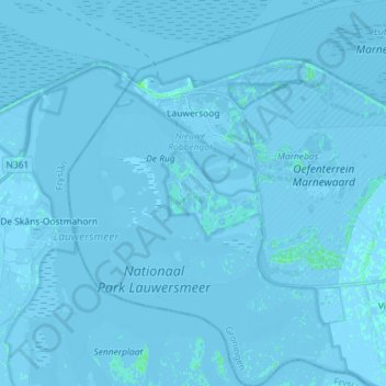
Name: Lauwersoog topographic map, elevation, terrain.
Location: Lauwersoog, Het Hogeland, Groningen, Netherlands (53.34274 6.16743 53.42864 6.31006)
Average elevation: -1 m
Minimum elevation: -7 m
Maximum elevation: 5 m
Other topographic maps
Click on a map to view its topography, its elevation and its terrain.