Geolocate

La Ral topographic map

Click on the map to display elevation.

About this map

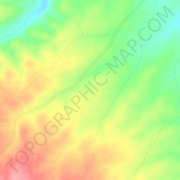
Name: La Ral topographic map, elevation, terrain.

Location: La Ral, Azuara, Campo de Belchite, Zaragoza, Aragon, Spain (41.20709 -0.90552 41.22709 -0.88552)

Average elevation: 674 m

Minimum elevation: 622 m

Maximum elevation: 725 m

Gear up for your next adventure:

👟Women's Trail Running Shoes - Agile footwear for fell running and technical trails
🍳Camping Stoves - Compact stoves for outdoor cooking
🪓Outdoor Multitools - Versatile tools for hiking and camping
📱Phone Mounts for Hiking - Secure mounts to carry your phone on trails
🧺Mesh Stuff Sacks - Breathable storage for wet gear or camp organization

As an Amazon Associate, this site earns from qualifying purchases at no extra cost to you.