
Highland topographic map
Interactive map
Click on the map to display elevation.
About this map
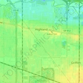
Name: Highland topographic map, elevation, terrain.
Location: Highland, Lake County, Indiana, 46322, États-Unis d'Amérique (41.52292 -87.48113 41.57049 -87.43248)
Average elevation: 188 m
Minimum elevation: 178 m
Maximum elevation: 197 m