
Thank you for supporting this site ❤️
Make a donation
Make a donation
Gear up for your next adventure:
As an Amazon Associate, this site earns from qualifying purchases at no extra cost to you.
Khanna topographic map
Click on the map to display elevation.
Thank you for supporting this site ❤️
Make a donation
Make a donation
Gear up for your next adventure:
As an Amazon Associate, this site earns from qualifying purchases at no extra cost to you.
About this map
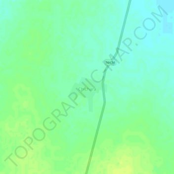
Name: Khanna topographic map, elevation, terrain.
Location: Khanna, Mahoba, Mahoba District, Uttar Pradesh, 210504, India (25.54569 80.04349 25.58569 80.08349)
Average elevation: 130 m
Minimum elevation: 120 m
Maximum elevation: 138 m
Thank you for supporting this site ❤️
Make a donation
Make a donation
Gear up for your next adventure:
As an Amazon Associate, this site earns from qualifying purchases at no extra cost to you.