
Franklin topographic map
Interactive map
Click on the map to display elevation.
About this map
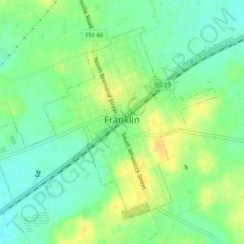
Name: Franklin topographic map, elevation, terrain.
Location: Franklin, Robertson County, Texas, 77856, United States (31.01461 -96.50335 31.03681 -96.47036)
Average elevation: 137 m
Minimum elevation: 124 m
Maximum elevation: 151 m
Other topographic maps
Click on a map to view its topography, its elevation and its terrain.