
East Helena topographic map
Interactive map
Click on the map to display elevation.
About this map
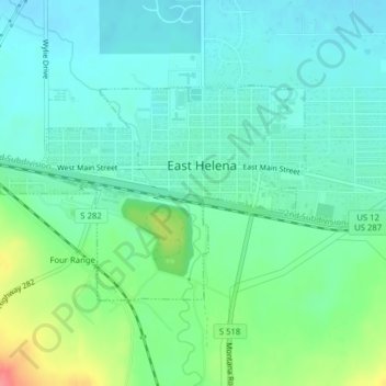
Name: East Helena topographic map, elevation, terrain.
Location: East Helena, Lewis and Clark County, Montana, USA (46.58013 -111.93571 46.59521 -111.90404)
Average elevation: 1,187 m
Minimum elevation: 1,168 m
Maximum elevation: 1,242 m