
Town of Oxford topographic map
Interactive map
Click on the map to display elevation.
About this map
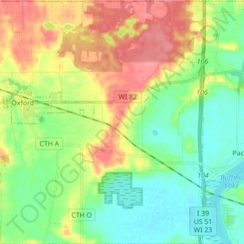
Name: Town of Oxford topographic map, elevation, terrain.
Average elevation: 262 m
Minimum elevation: 232 m
Maximum elevation: 309 m
Other topographic maps
Click on a map to view its topography, its elevation and its terrain.
Observatory Hill State Natural Area
United States > Wisconsin > Marquette County
Average elevation: 262 m