
Kecamatan Sungai Mandau topographic map
Interactive map
Click on the map to display elevation.
About this map
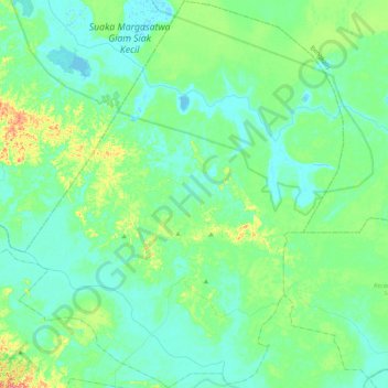
Name: Kecamatan Sungai Mandau topographic map, elevation, terrain.
Location: Kecamatan Sungai Mandau, Siak, Riau, Sumatra, Indonesia (0.77916 101.46496 1.19710 101.88416)
Average elevation: 14 m
Minimum elevation: -3 m
Maximum elevation: 70 m
Other topographic maps
Click on a map to view its topography, its elevation and its terrain.