Geolocate

Limini topographic map

Click on the map to display elevation.

About this map

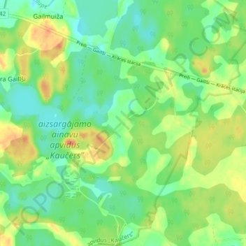
Name: Limini topographic map, elevation, terrain.

Location: Limini, Preiļu novads, Latgale, LV-5318, Latvia (56.24917 26.86306 56.28917 26.90306)

Average elevation: 158 m

Minimum elevation: 141 m

Maximum elevation: 183 m

Other topographic maps

Click on a map to view its topography, its elevation and its terrain.

Preiļi

Latvia > Latgale > Preiļu novads

Average elevation: 131 m

Gear up for your next adventure:

🗺️Ordnance Survey Maps - Official UK maps for walking and outdoor activities
🧥Breathable Waterproof Jackets - Essential rain protection for the unpredictable British climate
📱Phone Mounts for Hiking - Secure mounts to carry your phone on trails
📦Dry Bags - Waterproof bags to protect gear from rain
🔪Outdoor Multi-Tools - Versatile tools for gear repairs and food prep in the wild

As an Amazon Associate, this site earns from qualifying purchases at no extra cost to you.