
Vera topographic map
Interactive map
Click on the map to display elevation.
About this map
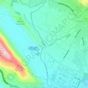
Name: Vera topographic map, elevation, terrain.
Location: Vera, L'Aquila, AQ, Abruzos, 67100, Italia (42.35071 13.45508 42.35223 13.45613)
Average elevation: 643 m
Minimum elevation: 582 m
Maximum elevation: 866 m
Other topographic maps
Click on a map to view its topography, its elevation and its terrain.