Geolocate

Al Sahafa topographic map

Click on the map to display elevation.

About this map

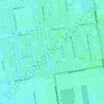
Name: Al Sahafa topographic map, elevation, terrain.

Location: Al Sahafa, Khartoum, Khartoum State, Sudan (15.52754 32.52515 15.54557 32.55777)

Average elevation: 385 m

Minimum elevation: 382 m

Maximum elevation: 387 m

Gear up for your next adventure:

📍Handheld GPS Navigators - Reliable satellite navigation for hiking and off-road exploration
🍱Food Containers - Reusable containers for outdoor meals
👟Men's Trail Running Shoes - Lightweight grip for fast movement over topographic contours
Altimeter Watches - Watches measuring altitude for mountain activities
🔥Reusable Hand Warmers - Maintain dexterity in your fingers for precise map handling

As an Amazon Associate, this site earns from qualifying purchases at no extra cost to you.