
Carryville topographic map
Interactive map
Click on the map to display elevation.
About this map
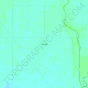
Name: Carryville topographic map, elevation, terrain.
Location: Carryville, Clay County, Arkansas, United States (36.32228 -90.12398 36.36228 -90.08398)
Average elevation: 83 m
Minimum elevation: 80 m
Maximum elevation: 88 m
Other topographic maps
Click on a map to view its topography, its elevation and its terrain.
Piggott
United States > Arkansas > Clay County
The topography of Piggott is mostly flat in the eastern half of the city with the more developed western half lying along Crowley’s Ridge, creating a sensation of coming down from a small mount to the flatland below. This ridge is a naturally occurring phenomenon created over millennia by wind-blown…
Average elevation: 103 m