Geolocate

Farnham topographic map

Click on the map to display elevation.

About this map
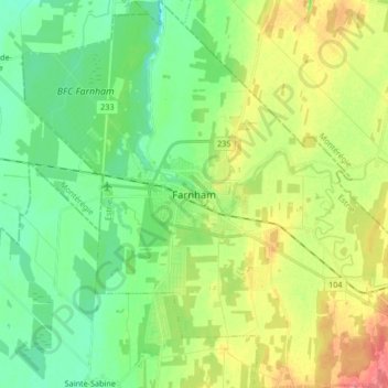
Name: Farnham topographic map, elevation, terrain.

Location: Farnham, Brome-Missisquoi, Estrie, Quebec, Canada (45.22459 -73.04886 45.34193 -72.88203)

Average elevation: 63 m

Minimum elevation: 38 m

Maximum elevation: 105 m

Gear up for your next adventure:

🚶Walking Pedometers - Simple distance tracking for casual trail walkers
🪓Outdoor Multitools - Versatile tools for hiking and camping
🧥Softshell Jackets - Breathable jackets for active outdoor use
🧘Folding Sit Mats - Dry and warm seat for map-reading breaks on damp ground
📍Handheld GPS Navigators - Reliable satellite navigation for hiking and off-road exploration

As an Amazon Associate, this site earns from qualifying purchases at no extra cost to you.