Geolocate

kaneli topographic map

Click on the map to display elevation.

About this map

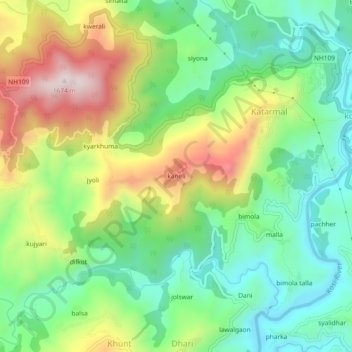
Name: kaneli topographic map, elevation, terrain.

Location: kaneli, Katarmal, Almora, Uttarakhand, 263601, India (29.60724 79.58341 29.64724 79.62341)

Average elevation: 1,313 m

Minimum elevation: 1,118 m

Maximum elevation: 1,640 m

Gear up for your next adventure:

🗺️Ordnance Survey Maps - Official UK maps for walking and outdoor activities
🥫Expedition Meals - Lightweight, high-calorie nutrition for long-distance hikers
🧊Insulated Flasks - Keeps drinks hot or cold during hikes
Camping Shelters - Emergency and lightweight shelters for outdoor use
🌄Outdoor Binoculars - Compact binoculars for landscape observation

As an Amazon Associate, this site earns from qualifying purchases at no extra cost to you.