Geolocate

Rajim topographic map

Click on the map to display elevation.

Rajim

It is located at an elevation of 281 m above MSL.

Wikipedia (CC-BY-SA 3.0)

About this map

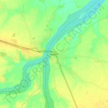
Name: Rajim topographic map, elevation, terrain.

Location: Rajim, Rajim Tahsil, Gariaband District, Chhattisgarh, 493885, India (20.92847 81.83968 21.00847 81.91968)

Average elevation: 286 m

Minimum elevation: 273 m

Maximum elevation: 296 m

Gear up for your next adventure:

🧥Breathable Waterproof Jackets - Essential rain protection for the unpredictable British climate
📱Phone Mounts for Hiking - Secure mounts to carry your phone on trails
👟Men's Trail Running Shoes - Lightweight grip for fast movement over topographic contours
🧺Microfibre Travel Towels - Fast-drying and compact towels for wild swimming and camping
🧤Thermal Touchscreen Gloves - Stay warm while operating your GPS or smartphone camera

As an Amazon Associate, this site earns from qualifying purchases at no extra cost to you.