Geolocate

Erzelli topographic map

Click on the map to display elevation.

About this map

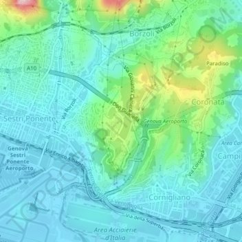
Name: Erzelli topographic map, elevation, terrain.

Location: Erzelli, Rocche, Medio Ponente, Genoa, Liguria, 16153, Italy (44.41462 8.85423 44.43462 8.87423)

Average elevation: 52 m

Minimum elevation: -5 m

Maximum elevation: 261 m

Gear up for your next adventure:

🎒Hiking Daypacks (20L) - Compact backpacks for day trips and technical mountain ascents
👟Waterproof Leg Gaiters - Keep mud and water out of your boots in boggy terrain
🦟Anti-Midge & Tick Repellent - Vital for hiking in the Scottish Highlands during summer
📸Action Camera Chest Mounts - Record your ascent following topographic paths hands-free
🧭Emergency Beacons - Safety beacons for remote outdoor locations

As an Amazon Associate, this site earns from qualifying purchases at no extra cost to you.