
Sao topographic map
Interactive map
Click on the map to display elevation.
About this map
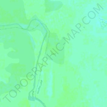
Name: Sao topographic map, elevation, terrain.
Location: Sao, Goulfey, Logone-et-Chari, Far-North, Cameroon (12.23792 14.79163 12.27792 14.83163)
Average elevation: 293 m
Minimum elevation: 288 m
Maximum elevation: 295 m