
Buroa topographic map
Interactive map
Click on the map to display elevation.
About this map
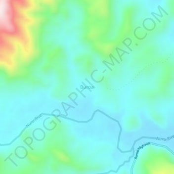
Name: Buroa topographic map, elevation, terrain.
Location: Buroa, Madang, Momase Region, Papua New Guinea (-5.40100 145.58886 -5.36100 145.62886)
Average elevation: 162 m
Minimum elevation: 60 m
Maximum elevation: 546 m
Other topographic maps
Click on a map to view its topography, its elevation and its terrain.