
Oja topographic map
Interactive map
Click on the map to display elevation.
About this map
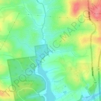
Name: Oja topographic map, elevation, terrain.
Location: Oja, Akinyele, État d'Oyo, Nigéria (7.48780 3.87654 7.52780 3.91654)
Average elevation: 222 m
Minimum elevation: 191 m
Maximum elevation: 273 m