
Alshalateen topographic map
Interactive map
Click on the map to display elevation.
About this map
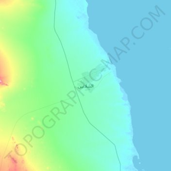
Name: Alshalateen topographic map, elevation, terrain.
Location: Alshalateen, Mer-Rouge, Égypte (22.94618 35.40394 23.26618 35.72394)
Average elevation: 31 m
Minimum elevation: -3 m
Maximum elevation: 246 m
Other topographic maps
Click on a map to view its topography, its elevation and its terrain.
مدينه القصير
Égypte > Mer-Rouge > مدينه القصير
مدينه القصير, Mer-Rouge, 84712, Égypte
Average elevation: 47 m