
Badrah topographic map
Interactive map
Click on the map to display elevation.
About this map
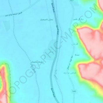
Name: Badrah topographic map, elevation, terrain.
Location: Badrah, Hawrah District, Hadramaut Governorate, Yemen (15.65060 48.26920 15.69060 48.30920)
Average elevation: 778 m
Minimum elevation: 718 m
Maximum elevation: 1,045 m
Other topographic maps
Click on a map to view its topography, its elevation and its terrain.