
Paradela topographic map
Interactive map
Click on the map to display elevation.
About this map
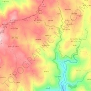
Name: Paradela topographic map, elevation, terrain.
Location: Paradela, Baamonde, Terra de Melide, Galicië, 15806, Spanje (42.98005 -7.98459 43.02005 -7.94459)
Average elevation: 653 m
Minimum elevation: 477 m
Maximum elevation: 763 m
Other topographic maps
Click on a map to view its topography, its elevation and its terrain.
San Vicenzo de Curtis
San Vicenzo de Curtis, Baamonde, A Coruña, Galicië, 15807, Spanje
Average elevation: 500 m