
Sévaré topographic map
Interactive map
Click on the map to display elevation.
About this map
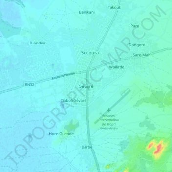
Name: Sévaré topographic map, elevation, terrain.
Location: Sévaré, Mopti Cercle, Mopti, Mali (14.48241 -4.13213 14.56241 -4.05213)
Average elevation: 272 m
Minimum elevation: 266 m
Maximum elevation: 316 m
Other topographic maps
Click on a map to view its topography, its elevation and its terrain.