Geolocate

Panitola topographic map

Click on the map to display elevation.

About this map

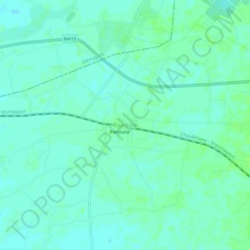
Name: Panitola topographic map, elevation, terrain.

Location: Panitola, Tinsukia, Assam, 786183, India (27.47516 95.23760 27.51516 95.27760)

Average elevation: 119 m

Minimum elevation: 115 m

Maximum elevation: 123 m

Gear up for your next adventure:

🔦Outdoor Torches - Reliable torches for night navigation
🎒Hiking Child Carriers - Explore the outdoors with the whole family safely
🥄Titanium Camping Sporks - The ultimate lightweight utensil for trail meals
🕶️Glacier Goggles - Maximum protection for high-altitude snow topography
🍱Food Containers - Reusable containers for outdoor meals

As an Amazon Associate, this site earns from qualifying purchases at no extra cost to you.