
Schmidrüti topographic map
Interactive map
Click on the map to display elevation.
About this map
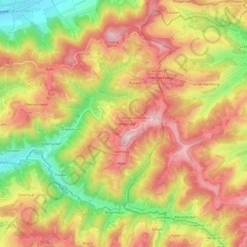
Name: Schmidrüti topographic map, elevation, terrain.
Location: Schmidrüti, Bezirk Winterthur, Zürich, 8495, Schweiz (47.39558 8.88341 47.43558 8.92341)
Average elevation: 745 m
Minimum elevation: 586 m
Maximum elevation: 862 m