
Mount Angel topographic map
Interactive map
Click on the map to display elevation.
About this map
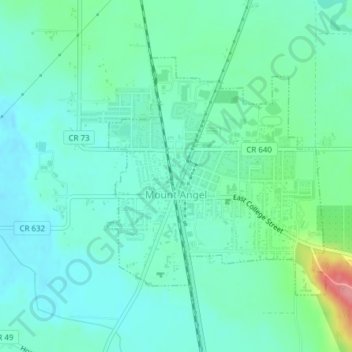
Name: Mount Angel topographic map, elevation, terrain.
Location: Mount Angel, Marion County, Oregon, 97362, États-Unis (45.06008 -122.80715 45.07834 -122.78338)
Average elevation: 58 m
Minimum elevation: 36 m
Maximum elevation: 134 m