
Vianen topographic map
Interactive map
Click on the map to display elevation.
About this map
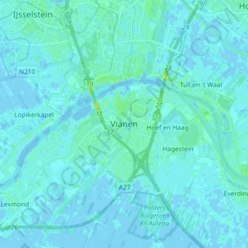
Name: Vianen topographic map, elevation, terrain.
Location: Vianen, Utrecht, Nederland, 4132HT, Nederland (51.94901 5.05372 52.02901 5.13372)
Average elevation: 2 m
Minimum elevation: -4 m
Maximum elevation: 19 m