
Undervelier topographic map
Interactive map
Click on the map to display elevation.
About this map
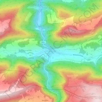
Name: Undervelier topographic map, elevation, terrain.
Location: Undervelier, District de Delémont, Jura, 2863, Suisse (47.28331 7.20410 47.32331 7.24410)
Average elevation: 775 m
Minimum elevation: 517 m
Maximum elevation: 1,065 m