
Kruibeke topographic map
Interactive map
Click on the map to display elevation.
About this map
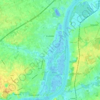
Name: Kruibeke topographic map, elevation, terrain.
Location: Kruibeke, Flandre orientale, Flandre, 9150, Belgique (51.12357 4.23199 51.19805 4.33013)
Average elevation: 10 m
Minimum elevation: -22 m
Maximum elevation: 27 m
Other topographic maps
Click on a map to view its topography, its elevation and its terrain.