Geolocate

Fulford topographic map

Interactive map

Click on the map to display elevation.

About this map

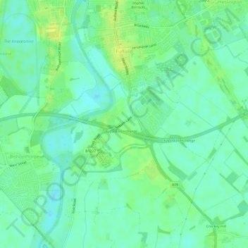
Name: Fulford topographic map, elevation, terrain.

Location: Fulford, York, England, United Kingdom (53.91218 -1.09196 53.94198 -1.03244)

Average elevation: 12 m

Minimum elevation: 4 m

Maximum elevation: 21 m

Other topographic maps

Click on a map to view its topography, its elevation and its terrain.

Tower Gardens, St George's Field

United Kingdom > England > York > York

Tower Gardens, St George's Field, Bishophill, York, England, United Kingdom

Average elevation: 15 m

Knapton

United Kingdom > England > York > York

Knapton, Rufforth with Knapton, York, England, YO26 6QH, United Kingdom

Average elevation: 18 m

Crockey Hill

United Kingdom > England > York > York > Crockey Hill

Crockey Hill, Fulford, York, Yorkshire and the Humber, England, YO19 4SN, United Kingdom

Average elevation: 10 m

Towthorpe

United Kingdom > England > York > York

Towthorpe, Strensall with Towthorpe, York, England, YO32 9SP, United Kingdom

Average elevation: 18 m