
Independence topographic map
Interactive map
Click on the map to display elevation.
About this map
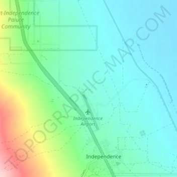
Name: Independence topographic map, elevation, terrain.
Location: Independence, Inyo County, California, Estados Unidos (36.79653 -118.24719 36.84800 -118.18591)
Average elevation: 1,199 m
Minimum elevation: 1,150 m
Maximum elevation: 1,372 m