
Morgan topographic map
Interactive map
Click on the map to display elevation.
About this map
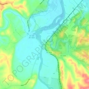
Name: Morgan topographic map, elevation, terrain.
Location: Morgan, Comté de Pendleton, Kentucky, États-Unis (38.58285 -84.41883 38.62285 -84.37883)
Average elevation: 204 m
Minimum elevation: 174 m
Maximum elevation: 268 m