
محطة سد الدلتا topographic map
Interactive map
Click on the map to display elevation.
About this map
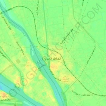
Name: محطة سد الدلتا topographic map, elevation, terrain.
Location: محطة سد الدلتا, القليوبية, 13621, Egypte (30.17864 31.11412 30.21864 31.15412)
Average elevation: 17 m
Minimum elevation: 2 m
Maximum elevation: 30 m