
Make a donation
Gear up for your next adventure:
As an Amazon Associate, this site earns from qualifying purchases at no extra cost to you.
Milltown Bridge topographic map
Click on the map to display elevation.
Make a donation
Gear up for your next adventure:
As an Amazon Associate, this site earns from qualifying purchases at no extra cost to you.
About this map
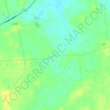
Name: Milltown Bridge topographic map, elevation, terrain.
Average elevation: 29 m
Minimum elevation: 19 m
Maximum elevation: 41 m
Make a donation
Gear up for your next adventure:
As an Amazon Associate, this site earns from qualifying purchases at no extra cost to you.
Other topographic maps
Click on a map to view its topography, its elevation and its terrain.
Ballynaguila
Ireland > County Limerick > The Municipal District of Adare — Rathkeale
Average elevation: 37 m
Kildimo
Ireland > County Limerick > The Municipal District of Adare — Rathkeale
Average elevation: 10 m
Rathmore
Ireland > County Limerick > The Municipal District of Adare — Rathkeale
Average elevation: 56 m
Make a donation
Gear up for your next adventure:
As an Amazon Associate, this site earns from qualifying purchases at no extra cost to you.