
Mamer topographic map
Interactive map
Click on the map to display elevation.
About this map
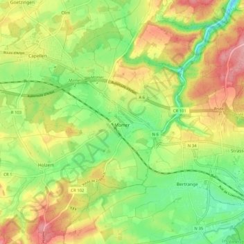
Name: Mamer topographic map, elevation, terrain.
Location: Mamer, Canton Capellen, Luxembourg (49.59891 5.95874 49.65575 6.06062)
Average elevation: 315 m
Minimum elevation: 260 m
Maximum elevation: 378 m