
Eho topographic map
Interactive map
Click on the map to display elevation.
About this map
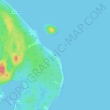
Name: Eho topographic map, elevation, terrain.
Location: Eho, Nias Selatan, Sumatera Utara, Indonésia (-0.56170 98.48400 -0.52170 98.52400)
Average elevation: 8 m
Minimum elevation: -2 m
Maximum elevation: 74 m